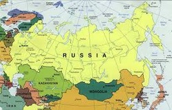
Geographic Analysis:
Explain how physical environments and man-made environments impact people’s lives.
Chronology and Consequence:
Compare and contrast the three major government systems of Russia (monarchy, communism, and democracy).
Using information from different sources:
Interpret and analyze content-specific visual information (e.g., in charts, graphs, photographs, videos, or maps).
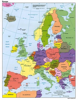
Chronology and Consequence:
Define and distinguish the characteristics of the classical era, medieval era, the renaissance, and the modern era.
Historical Analysis:
Explain how innovation impacted European development and expansion.
Central idea(s) of primary and secondary sources:
Determine the central idea or information of a primary or secondary source and provide an accurate summary of the source distinct from prior knowledge or opinions.
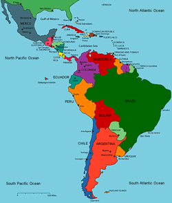
Geographic Analysis:
Identify and describe major physical features of Latin America and explain how they impact culture.Recognize and apply key terms and vocabulary appropriately in context.
Chronology and Consequence:
Identify and describe the Aztec, Inca, and Maya cultures and explain their major accomplishments.
Using Primary and Secondary Sources: -Central Idea(s):
Determine the central idea or information of a primary or secondary source and provide an accurate summary of the source distinct from prior knowledge or opinions.
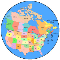
Geographic Applications:
Identify the landforms that are found in United States and Canada and explain their impact on culture regions
Geographic Analysis:
Distinguish among regions of the United States and consider why geographers divide the country this way.
Chronology and Consequence:
Identify and evaluate historical events on a timeline.Demonstrate how North America changes over time in culture and history.
Geographic Analysis:
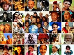
Define culture and explain its significance.Analyze how geography shapes a culture. Use the eight elements of culture and explain what makes cultures unique.Apply each of the eight elements of culture to one’s own life. Recognize and apply key terms and vocabulary appropriately in context.
Geographical Application:
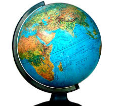
Identify and use geographical tools and explain their significance. Identify and locate the world’s continents (7) and oceans (5) and consider why geographers divided the world in this way. Recognize and apply key terms and vocabulary appropriately in context.
Geographical Analysis:
Explain the difference between countries and continents and other political divisions. Describe the earth’s major landforms and how
landforms affect where people live. Describe the three major climate zones (high-latitude/polar, mid-latitude/temperate, low-latitude- tropic) of the world and where each zone is located and analyzed how it effects where and how people live.
 RSS Feed